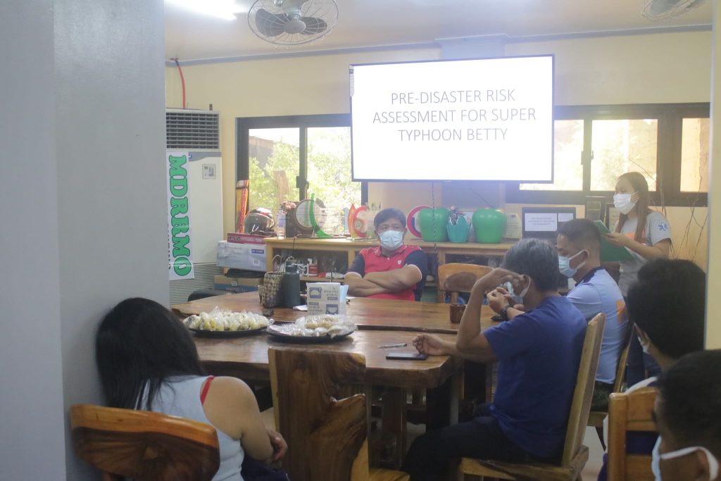
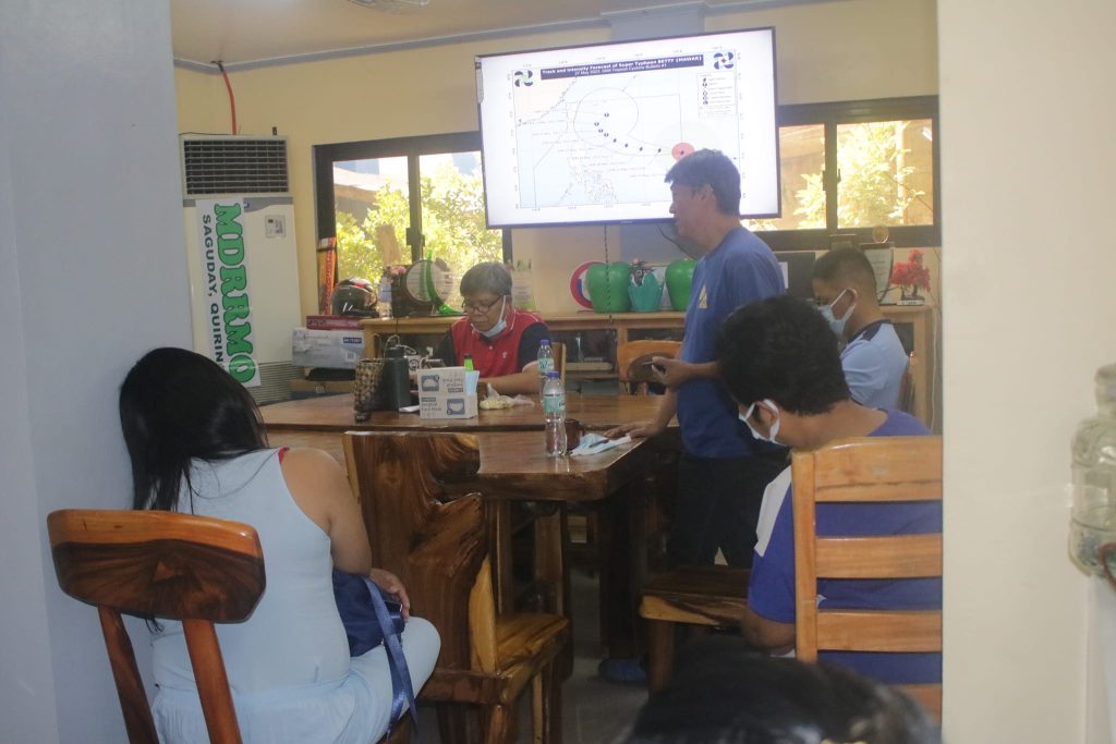
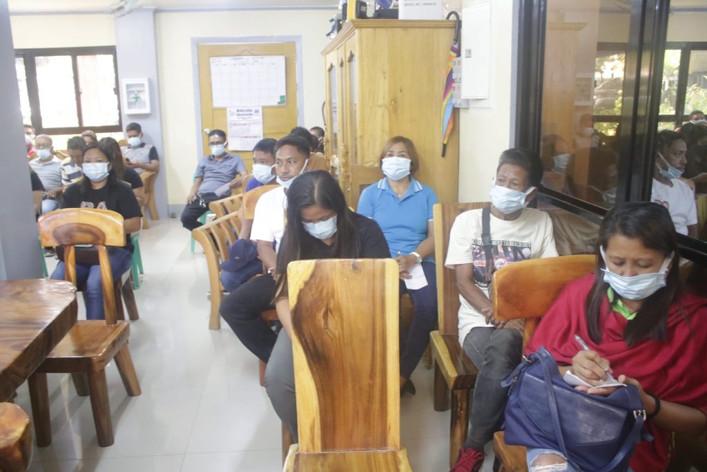
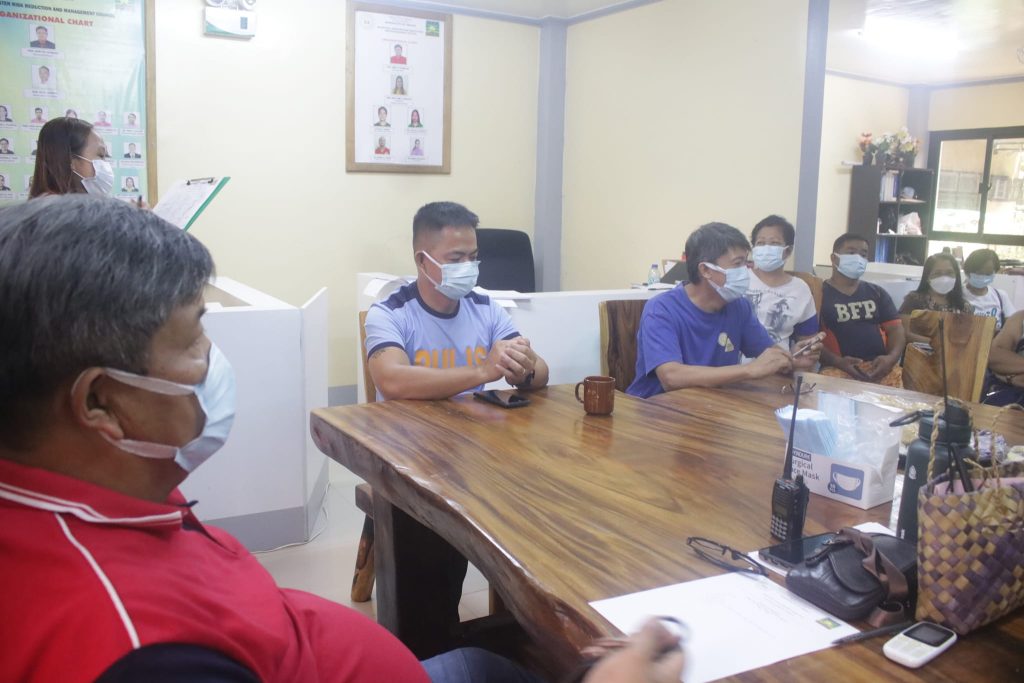
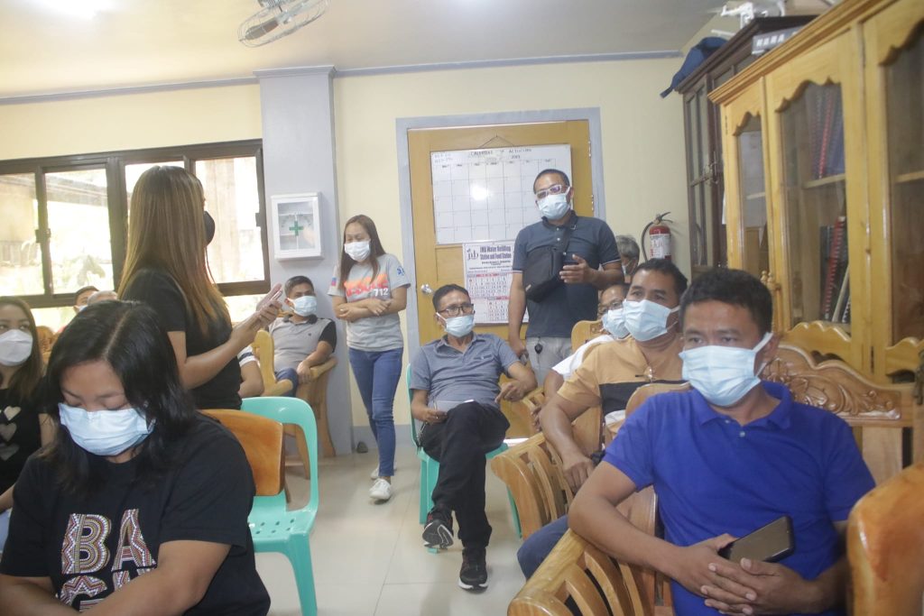
Earlier today, Hon. Jerry M. Pagbilao, the Municipal Mayor and Chair of the Municipal Disaster Risk Reduction and Management Council (MDRRMC), convened a Pre-Disaster Risk Assessment (PDRA) meeting in preparation for the incoming Super Typhoon Betty, known internationally as Mawar. The meeting involved the participation of various key stakeholders, including the MSWDO, RHU, DILG, PNP, BFP, DepEd, and Rescue 712.
The primary objective of the PDRA meeting was to emphasize the readiness of the local government unit (LGU) to effectively respond to any potential disasters or emergencies. The preparedness measures were thoroughly assessed and reinforced to ensure the municipality is fully prepared for the imminent super typhoon. The MDRRMC remains vigilant and committed to addressing any challenges that may arise.
To facilitate prompt response and support during the upcoming situation, the following hotlines have been made available to the public:
Rescue Hotline: 0997 552 9283
LDRRMO II: 0947 894 0254
PNP Hotline: 0917 327 8087
BFP Hotline: 0917 558 7576
As of the latest update, Super Typhoon Betty, also known as Mawar, is not projected to have a direct impact on the province. However, the associated South Westerly Windflow will bring rainfall to various parts of the province, leading to localized thunderstorms and potential weather disturbances. This may result in possible incidents of flooding within the municipality.
Therefore, it is crucial to intensify both government and community efforts in mitigation and preparedness measures. These proactive actions aim to minimize and ultimately prevent any negative impacts that may be caused by the impending disaster.
The MDRRMC encourages all residents to stay informed by regularly checking weather bulletins and following the instructions and precautions provided by local authorities.
Super Typhoon Betty is expected to continue its west-northwestward movement over the weekend. By Monday, the tropical cyclone will shift northwestward and slow down as it traverses the waters east of Extreme Northern Luzon. Betty may eventually reach a near-stationary phase between late Tuesday and early Wednesday, when it will be closest to Batanes, within a range of 250-300 km
Betty is forecasted to maintain its super typhoon status throughout the weekend. Although it is likely to sustain its strength for the next 36-48 hours, short-term intensification cannot be ruled out, particularly within the next 12 to 24 hours. However, as the tropical cyclone approaches the waters east of Batanes and enters a slowdown period, it may significantly weaken due to potential unfavorable conditions such as the upwelling of cooler ocean water and dry air intrusion.
 |
 |
 |
 |
 |
 |

